
Course Overview
This course is a specialized training program tailored to individuals seeking expertise in utilizing Unmanned Aerial Vehicles (UAVs) for remote sensing applications. This intensive course covers a comprehensive array of topics essential for success, including:
What You'll Learn in This Course:
- UAV Operations: Participants will learn the fundamentals of UAV flight planning, safety protocols, and regulations governing UAV operations.
- Remote Sensing Sensors: The course provides in-depth knowledge of remote sensing sensors commonly used in UAV platforms, including optical, thermal, and multispectral sensors.
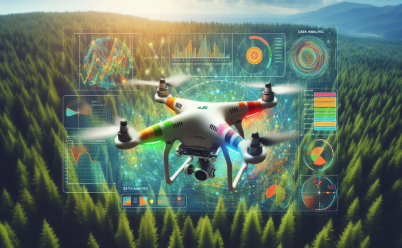
- Data Acquisition Techniques: Participants will explore various techniques for collecting high-resolution imagery and geospatial data using UAVs, including flight planning, sensor calibration, and data processing.
- Image Processing: The course covers advanced image processing techniques for analyzing UAV-derived data, including image stitching, orthorectification, and feature extraction.
- Applications: Through case studies and practical exercises, participants will learn how to apply UAV-based remote sensing in diverse fields such as agriculture, environmental monitoring, infrastructure inspection, and disaster response.
- Regulations and Ethics: Participants will gain an understanding of regulations, privacy concerns, and ethical considerations associated with UAV-based remote sensing operations.
- Future Trends: The course explores emerging trends and technologies in UAV-based remote sensing, preparing participants to adapt to advancements in the field.
This course offers flexible scheduling options to accommodate participants' needs, with both in-person and online instruction available. Participants will benefit from a supportive learning environment where they can collaborate with peers, ask questions, and receive personalized guidance from experienced instructors. Whether you're a professional seeking to enhance your skills or a student interested in pursuing a career in remote sensing, this course provides the tools, resources, and expertise needed to excel in this rapidly evolving field.


Drop us a line for More Details