Course Overview
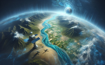
This course explores fundamental remote sensing techniques using satellite imagery, providing participants with practical skills to interpret and analyze Earth observation data. Through a combination of theoretical lectures and hands-on exercises, participants will delve into the principles of satellite imaging and its applications across various disciplines. Key topics covered include:
What You'll Learn in This Course:
- Introduction to Remote Sensing: Participants will gain an understanding of the principles and applications of remote sensing technology, with a focus on satellite imagery.
- Satellite Image Acquisition: The course covers satellite image acquisition processes, including sensor types, spatial and spectral resolutions, and image acquisition strategies.
- Image Preprocessing: Participants will learn preprocessing techniques to enhance satellite imagery quality, including radiometric and geometric corrections, image enhancement, and calibration.
- Image Interpretation: Through practical exercises, participants will develop skills in interpreting satellite imagery to extract information about land cover, land use, vegetation health, and environmental changes.
- Image Analysis: The course covers advanced image analysis techniques, including image classification, change detection, and time series analysis, to derive meaningful insights from satellite imagery.
- Applications: Participants will explore a range of applications of satellite imagery in various fields, including agriculture, forestry, urban planning, disaster management, and environmental monitoring.
This course combines theoretical knowledge with practical applications, providing participants with the necessary tools and skills to harness the power of satellite imagery for research, decision-making, and environmental management


Drop us a line for More Details